

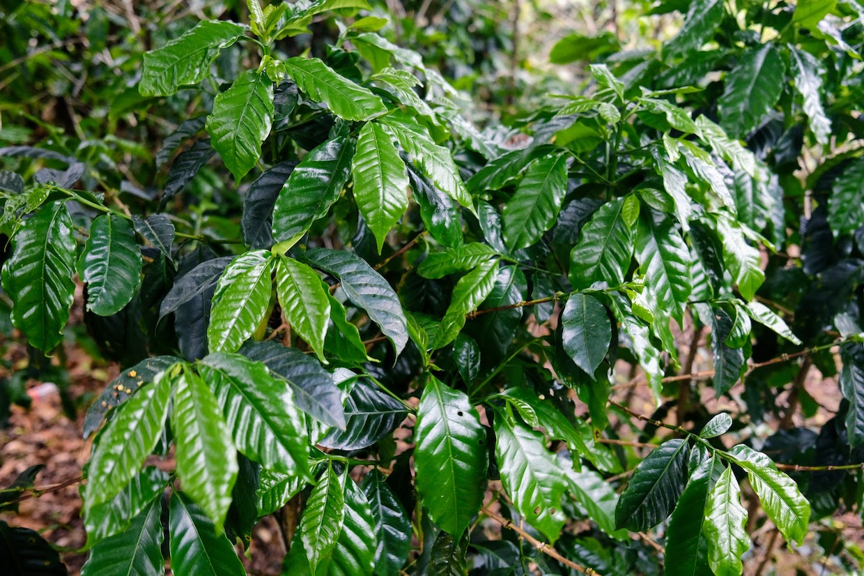
Daily Coffee News photo by Nick Brown.
Researchers in China are promoting a new machine learning model applied to satellite imagery that offers a “lightweight and easy to implement” template for precision mapping of coffee lands.
In a study published Nov. 10 in Frontiers in Remote Sensing, the research team focused on China’s main coffee-growing region surrounding Pu’er City in Yunnan province.
The group said they could remotely identify coffee farms in the area with about 95% accuracy, pitching the model as a potential tool for governments, traders and farmers in sustainability planning.
Using imagery from the European Space Agency’s Sentinel-2 satellites, the researchers built a detailed model that distinguishes coffee from other vegetation by tracking how the landscape changes over the year, and by adding information about terrain and local administrative boundaries.
In tests on known sites, the best version of the model correctly classified land pixels as coffee or non-coffee nearly 95% of the time.
The team then applied the model to Pu’er’s full coffee-growing area and estimated about 53,000 hectares, a bit higher than the officially reported 45,266 hectares. The authors say the gap likely reflects some misclassification of “spectrally or structurally similar vegetation” such as tea trees and shrubs. Yet the overall map aligned well with both field visits and online checks, according to the authors.

“Sampling routes and typical coffee photo points” from the study “Coffee extraction from remote sensing imagery based on multiple features: a case study of Pu’er City, China.” Shared via CC BY 4.0. Attribution 4.0 International.
“This study highlights the potential of remote sensing technology in accurately mapping and monitoring coffee cultivation in complex agricultural landscapes,” the authors wrote. “The proposed approach provides valuable insights for enhancing precision agriculture and regional land management strategies while supporting the sustainable development of coffee farming.”
Beyond touting the model’s accuracy, the research team also noted a practical benefit of relatively easy configuration and tracking, as compared to other land mapping methods.
“The method is lightweight and easy to implement, requiring only simple input and output parameters,” they said. “It can be readily transferred and applied to other regions with similar agro-ecological conditions by adjusting a few key parameters, demonstrating strong scalability and practical value.”
The research was led by scientists at Yunnan Land and Resources Vocational College and multiple institutes of the Chinese Academy of Sciences, and funded by provincial and institutional programs focused on developing Yunnan’s specialty coffee sector. The authors reported no commercial or financial conflicts of interest.
Comments? Questions? News to share? Contact DCN’s editors here. For all the latest coffee industry news, subscribe to the DCN newsletter.
Related Posts


Comment